

Serving Lincoln County for more than a century!
Serving Lincoln County for more than a century!
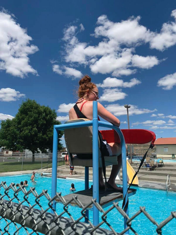
Lifeguard Hayden Schuh watches from her perch as patrons enjoy the Odessa community pool.
ODESSA – The forecast for this weekend is for dangerously hot weather. Temperatures at various weather services have ranged from highs of 108 to 110 by next Monday. At least one weather service is forecasting high temperatures of 100 degrees or more for all of next week. Health officials are urging people to take precautions, such as limiting strenuous outdoor activities, drinking plenty of water to stay hydrated and seeking shade when you must be outdoors.
Fortunately for those who enjoy swimming, the Odessa pool has opened and will no doubt provide a welcome relief from the heat for young and old alike.
Saturday
Sunny and hot, with a high near 103.
Saturday Night
Clear, with a low near 70.
Sunday
Sunny and hot, with a high near 106.
Sunday Night
Clear, with a low near 71.
Monday
Sunny and hot, with a high near 108.
URGENT - WEATHER MESSAGE
The National Weather Service, Spokane, issued an urgent weather message at 2:30 p.m. on June 22 for the Coeur d`Alene Area-Idaho Palouse-Lewiston Area-Northeast Blue Mountains-Lower Garfield and Asotin Counties-Washington Palouse-Moses Lake Area-Upper Columbia Basin-Spokane Area-Northeast Mountains-Okanogan Highlands-Wenatchee Area-East Slopes Northern Cascades-Okanogan Valley-Waterville Plateau, including the cities of Coeur d`Alene, Post Falls, Hayden, Worley, Moscow, Plummer, Potlatch, Genesee, Lewiston, Lapwai, Peck, Culdesac, Gifford, Anatone, Peola, Clarkston, Pomeroy, Pullman, Colfax, Rosalia, La Crosse, Oakesdale, Tekoa, Uniontown, Moses Lake, Ephrata, Othello, Quincy, Ritzville, Grand Coulee, Odessa, Wilbur, Coulee City, Spokane, Cheney, Davenport, Rockford, Colville, Deer Park, Chewelah, Newport, Kettle Falls, Republic, Inchelium, Wauconda, Wenatchee, Chelan, Entiat, Cashmere, Leavenworth, Mazama, Twisp, Winthrop, Stehekin, Conconully, Omak, Okanogan, Brewster, Bridgeport, Oroville, Nespelem, Waterville and Mansfield.
Excessive-heat watch in effect from Friday afternoon through Tuesday evening.
* WHAT...Dangerously hot conditions. High temperatures in the 90s to near 100 Friday, 97 to 107 Saturday, 100 to 112 Sunday through Tuesday. Mild overnight lows in the mid-60s to mid-70s.
* WHERE...Portions of Central, East Central, North Central, Northeast and Southeast Washington and North and North Central Idaho.
* WHEN...From Friday afternoon through Tuesday evening.
* IMPACTS...Extreme heat will significantly increase the potential for heat related illnesses, particularly for those working or participating in outdoor activities.
Precautionary/preparedness actions
Monitor the latest forecasts and warnings for updates on this situation. Be prepared to drink plenty of fluids, stay in an air-conditioned room, stay out of the sun, and check up on relatives and neighbors.
Young children and pets should never be left unattended in vehicles under any circumstances. This is especially true during warm or hot weather when car interiors can reach lethal temperatures in a matter of minutes.

Reader Comments(0)